Using Google Earth, I created a map of the elevations of China. China has some of the highest mountains in the world. The Himalayans are located in the Western region of China. From the map we can see that as you move across the country from the Pacific Ocean, the elevation increases. The elevation lines increase by 500 meters.
 |
| Google Maps Image of the Elevations of China. The farthest right line(purple) is 500 meters and each line moving to the left increase by 500 meters. |
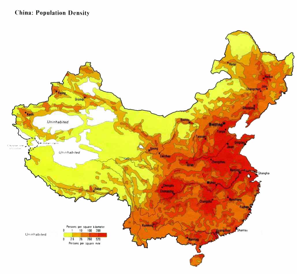
When looking at a population density map, we can see that the lower the elevation, the more the population. This is due to the higher elevations being harder to live in and grow food.
No comments:
Post a Comment